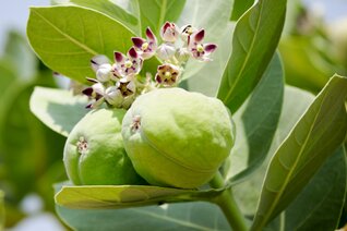
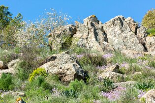
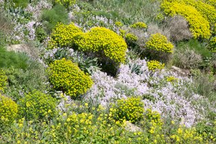
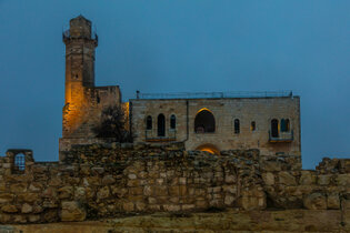
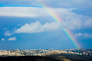
Location of photography
Please, scroll down :-)
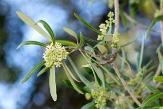
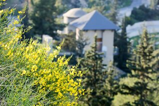
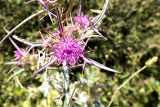
Location of photography
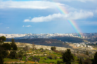
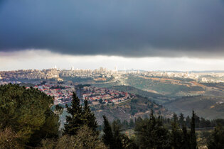
Nebi Samuel Park
885 meters above sea level, Nebi Samuel Park controlled the ancient road from Giv'at Ze'ev to Jerusalem
The site is identified as the biblical Mizpah, in light of remains found from the time of the First Temple
and the Second Temple, and is also the site mentioned in Nehemia 3:15
Identified with Rama, Samuel's burial place
1.Samuel 25:1
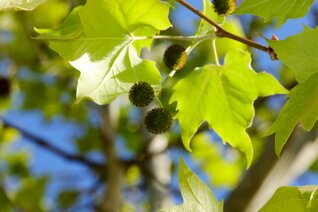
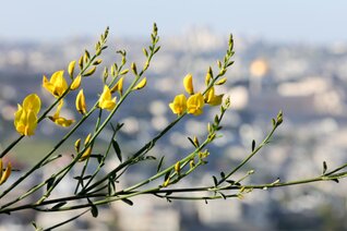
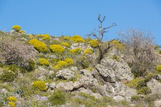
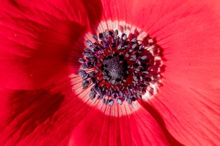
Location of photography
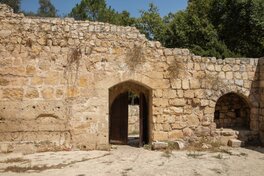
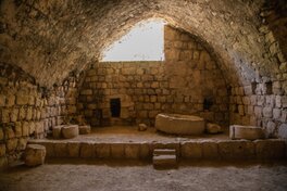
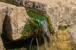
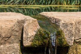
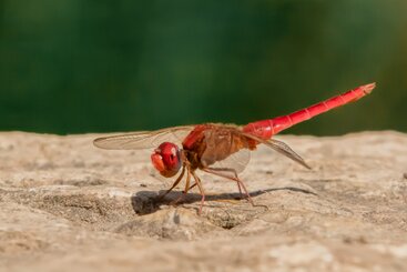
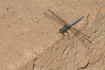
En Hemed Nationalpark גן לאומי עין חמד
Crusader fortress and remains of an agricultural farm – in the southern part of the park is a fortified building from the Crusader period, which appears to have served a farm.
The ancient remains have been taken care of and preserved, adding a mysterious and magical historical aspect to the park.
Recycled flow of stream water – a closed system collects the spring water flowing through the streambed of Kesalon Stream and brings it back to the starting point.
This system is intended to prevent the stream from drying up during rainless winters and drought years.
Path to the burial cave – a circular walking trail leading to the First Temple era burial cave. The cave is to the south of the stream.

In order to optimize the loading speed, the resolution of the seen pictures is reduced. Sorry, but the 'bad' quality is due to the speed of the download and the resolution. Original picture resolution is up to 8688 X 5792 RAW!
Um die Ladegeschwindigkeit zu optimieren, wurde die Auflösung verringert. Das geht zu Lasten der Bildschärfe und der Bildqualität. Original-Auflösung bis 8688 x 5792 Pixel RAW!